
The following is an excerpt from my book A BRIEF HISTORY OF THE COLUMBIA RIVER. The book is available at The Book Patch Bookstore and at Kobo eBooks.
WE STRUGGLE WITH numbers we cannot imagine. 100,000 people fill a football stadium and gives us some notion of this number; but a million years leaves a blank. Geology seems rife with such numbers. 4 billion years ago the planet came to be. 62 million years ago came the extinction of the dinosaurs. Several million years ago, with the exception of the Columbia River Gorge and the river that runs through that gorge, the Pacific Northwest looked much as it does today. Glaciers would come, and glaciers would go, covering and carving the landscape. Mountains were pushed up and ground down. Volcanic eruptions, rising and falling sea, wind and rain all added their signature.
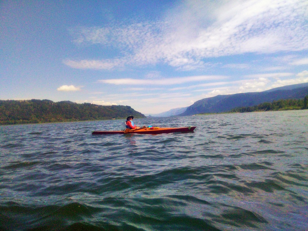
Mouth of Columbia River Gorge. Mitch Williams’ photo.
Before the river there was lava. Before the mountains there was lava. 17 million years ago the first eruptions were a series of immense lava floods flowing from great fissures near the present Oregon-Idaho-Washington border. Some of these flows, among the largest ever to occur on Earth, traveled as far as 400 miles from their eastern vents to Yaquina Bay on the central Oregon coast. Individual flows covered as much as 10,000 square miles, equivalent to one tenth of the state, and many are over 100 feet thick. Columbia River Basalt, exposed in many places through the gorge, often cooled to form the distinctive basaltic columns that have become an iconic part of Oregon’s scenery.
Over millions of years, deposits of clay, sand, and gravel left by inland seas, lakes, and rivers were layered within the lava flows forming distinctive strata. Over time these deposits were compacted into soft rock, then lifted and tilted by tectonic forces. Mesas and mountains rose and were eroded away only to rise again, shaped into hills and buttes and mountain peaks by weather, wind, and water
Three to five million years ago came the evolution of the five salmon species known today. Fossils unearthed in ancient sediment show that giant sloths, porcupines, horses, and a host of other creatures great and small, existed. And during this same time, an epoch that geologists label Pliocene, the river began to carve its path south and west to the sea.
Volcanoes, then, made the creation of the Columbia River possible. A geologist might quibble. Technically, the bulk of the lava flowed from linear fissures. Eruptions like Mt St Helens (1980), are fairly recent. Mt Hood last erupted in 1781. Even Mt Mazama is dated at just 30,000 years ago, an eye blink geologically. The lava floods were much older, and had a far greater impact. The lava, however generated, provided the ground and the parameters which determined the river’s path, its width, its depth.
By 3 million years ago, the river had begun its work carving a course through the recurring uplifts and volcanic outflows. A million years ago, the Columbia’s path was much like it is now. 20,000 years ago, the river had carved a deep V-shaped channel through the basalt flows, the sand and gravel, the mud and clay, cutting a course from the rolling Palouse of eastern Washington, across the arid uplands of eastern Oregon, through the Cascades, and on to the coast. The ancient river’s banks rose abruptly up to mesas in the east, then to the higher peaks through the Cascades; finally, as the river met the valley and slowed, it widened and gently flowed to its meeting with Pacific tides.
No evidence of a native people exists for this early period in the river’s history. Some archaeologists working with anthropologists think a date of 20,000 years ago is quite possible. The Pleistocene’s last ice age still held most of the northern half of the continent in its grip, and the climate was 6 – 8 degrees colder. South of Puget Sound, however, the land was free of ice and did offer habitation and a bounty of fish, game, and plants.
If native people did inhabit the region 20,000 years ago, those living along the river were in for an unpleasant surprise. The gradual warming of the planet that ended the age of ice began 16,000 to 19,000 years ago. This warming caused the erosion of an ice dam in western Montana. That dam held back a body of water nearly the size of Lake Erie. The precipitous collapse of the ice and the sudden release of such a large body of water that inexorably followed created unimaginable floods.
A wall of water a thousand feet high moving at 50 miles an hour would have created an air blast heard a half hour down river. Chaos and catastrophe followed. Flood waters 400 feet deep inundated what is now Portland. The Willamette Valley was flooded as far south as Eugene. Little wonder that no evidence of inhabitation can be found along the river’s banks.
Named the Bretz Floods (or Missoula Floods or Spokane Floods) for Harlan Bretz, the geologist who first proposed the idea of cataclysmic flooding, the water once released from its impoundment followed the Columbia’s channel through the scablands of eastern Washington, the mountains of Oregon, and out into the Pacific transforming everything in its path. Flood waters scoured the excellent top soil of eastern Washington and deposited most of it west of the mountains, much of it down the Willamette Valley. The ancient V-shaped river valley was scooped and dredged by the rush of water, ice and stone; and the U-shaped gorge we see today resulted. This, too, was the river that Lewis and Clark saw.
Wallula Gap marked the turning point for the Bretz floods. Twin Sisters Rock, southeast of the gap, offers a sweeping view of the river and the narrow cut in the basalt plateau which provides the only outlet for the entire Columbia Basin of eastern Washington. The immense volume of water quickly filled this inadequate passage, and rose to cover the high hills to the east and south and Horse Heaven Hills to the northwest. The flood waters, balked as they were, inundated the region as far north as Ephrata, over 100 miles away, with water deep enough to form the short-lived so-called Lewis Lake.

Twin Sisters Butte
From a book written in 1920 by L.R. Freeman comes this description of Wallula Gap and Twin Sisters:
A skyline of brown mountains, with a double-turreted butte as their most conspicuous feature, marks the point where the Columbia finally turns west for its assault on the Cascades and plunged to the Pacific. That bend is the boundary of the fertile plains extending from the Yakima to the Walla Walla, and the beginning of a new series of gorges, in some respects the grandest of all. The matchless panorama of the Cascade gorges is a fitting finale to the stupendous scenic pageant that has been staged all the way from the glacial sources of the Columbia.
The double-topped butte, an outstanding landmark for voyageurs for a hundred years, has long been called “The Two Virgins.” The story is told locally of a Catholic priest who saved his life by taking refuge in a cave between the castellated turrets during an Indian massacre, but who got in rather serious trouble with the Church afterwards as a consequence of sending words of his deliverance by a French-Canadian half-breed voyageur. The latter got the salient details of the story straight, but neglected to explain that the two virgins were mountains. The result was that the unlucky priest narrowly missed excommunication for saving his life at the expense of breaking his vows. I got no affidavit with the story, but local “stock” yarns are always worth preserving on account of their color.
A legend of the Cayuse tribe who lived in that area tells a different tale of the butte’s creation. Coyote—the mythical reprobate of native lore—had become enamored with three rather lovely sisters who chose to remain aloof. Unrequited, jealous, he turned one of these young women into a cave, and the other two into the prominent rocks on the Washington shore.
The formation has been given many names over the years: Two Captains (for Lewis and Clark), Chimney Rocks, Hell’s Smokestacks, Cayuse Sisters, and the Twin Virgins.
The two pillars attest to the strength and fury of the Bretz Floods. Once part of the extensive Columbia Basin lava field, the flooding stripped away the looser sediment and left the Twin Sisters. As the waters subsided, the pillars emerged to become today’s prominent landmark.
